Changelog
All notable changes to Map View are documented here.
Unreleased
Added
- A new
distancefromquery operator. - New CLI commands for running queries and calculating routes, especially for usage in conjunction with an LLM.
- Geosearch CLI can return Google Places field to give agents access to ratings, opening hours etc.
Fixed
- Fixed issues with saving a new default preset and a few other UI quirks.
6.1.4
Added
- Added Obsidian CLI support that enable agents to use Map View for adding geolocations to your notes, see here for more information.
- Changed internal links to the new documentation site.
6.1.3
Fixed
Internal
- Long-overdue addition of unit tests for many low-level plugin functions.
6.1.2
Added
- Auto-add current GPS location to notes on mobile (e.g. daily notes). See GPS Support.
- Icons added to Map View's registered commands for better visibility in the mobile toolbar.
6.1.1
Fixed
- Issues with embedded maps (#372).
6.1.0
Added
- Real-time GPS location support using Obsidian Mobile 1.11's new location permissions:
- Map View now shows your current location.
- "Follow my location" toggle to pan the map as you move (available in View drop-down and Bases settings).
- All GPS commands revised to use the new location permissions.
- Moving indicator shown when Map View opens before fully loading.
Deprecated
- The Geo-Helper app is now obsolete and unsupported (superseded by native GPS support on mobile).
Notes
- Desktop GPS support (Linux, Windows, Mac) is not yet available. Vote for it here.
6.0.5
Fixed
- Issue #367.
6.0.4
Fixed
- Emoji support in tag names (#348).
- Plugin removing blank lines in note embeds (#368).
- Some cases where marker rules could disappear on upgrade (#359).
6.0.3
Fixed
- Display rules with empty queries no longer allowed for non-preset rules (#359).
locationproperty no longer set to typemultitext(#358).- Map View embeds through Bases now work correctly; added Embedded Height control.
6.0.2
Fixed
- Issue #354.
6.0.1
Fixed
- Issue #352.
6.0.0
This is a major release with significant new features, fixes, and breaking changes.
Breaking Changes
Read before upgrading
- Google Places API: This version upgrades to Google's new Places API (introduced 2025). Existing credentials may need to be updated. See the migration guide.
- Google Places Templates: Field names changed in the new Places API — re-add them in plugin settings.
- OpenStreetMap geocoding: An email address is now required in the plugin configuration due to OSM usage restrictions.
- Configuration file is not backwards-compatible. Back up
VAULT_DIR/.obsidian/plugins/obsidian-map-view/data.jsonbefore upgrading if needed.
Added
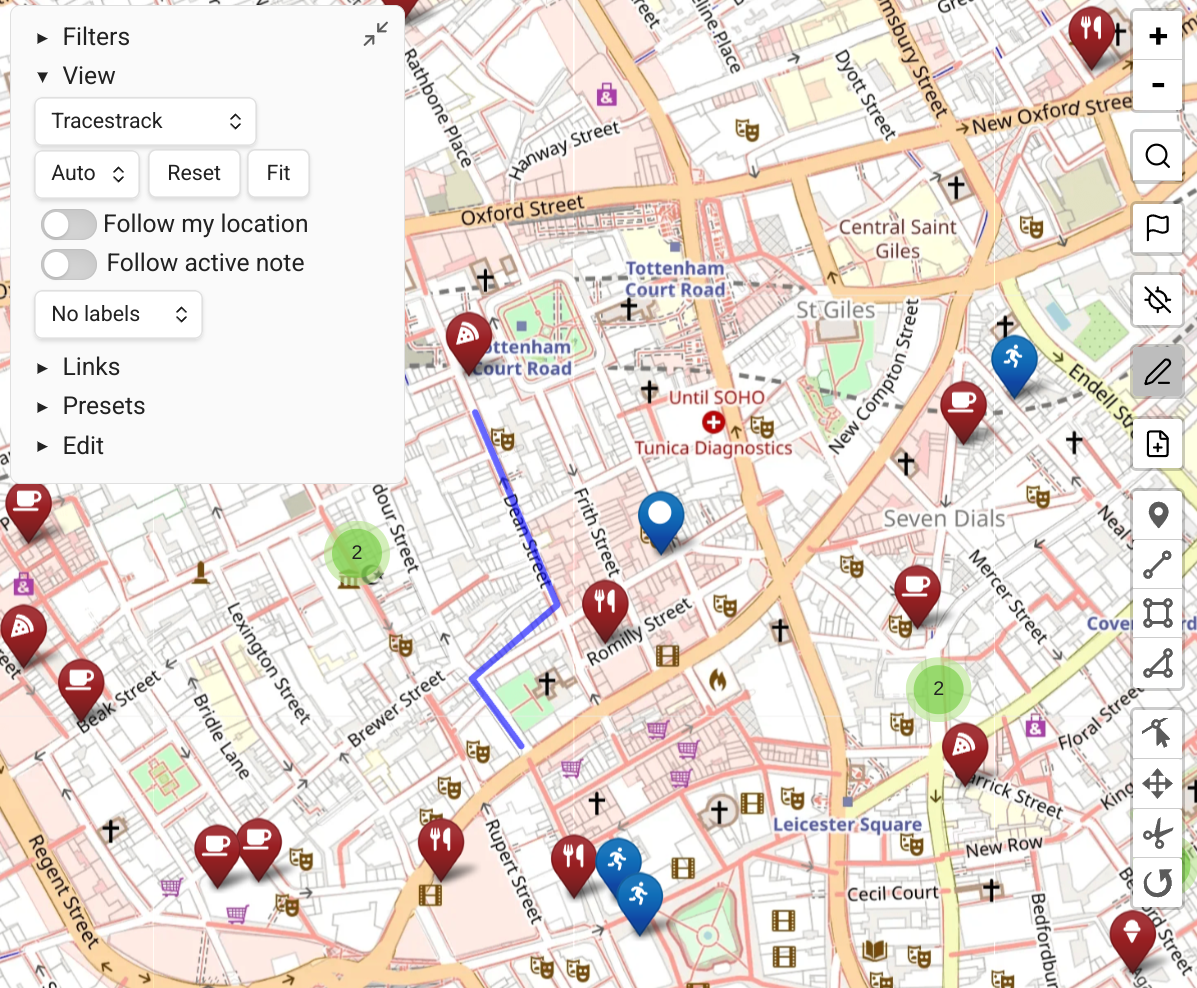
- Paths — support for stand-alone path files (GPX, KML, TCX, GeoJSON) and inline GeoJSON paths within notes.
- Display Rules — complete redesign of "marker rules" into a more powerful query-based system for both markers and paths.
- Routing — built-in route calculation using the GraphHopper API (driving, cycling, walking).
- Badges — small corner indicators that can be added to markers via display rules.
- Edit Mode — complete new interface for adding and modifying markers and paths directly from the map.
- Obsidian Bases view — experimental integration with Obsidian Bases.
opacityas a marker icon property.- "Only one controls section open at a time" setting (default: on).
- "Show native Obsidian popup on marker hover" option (returned by popular request).
- Modifying notes now properly updates markers according to the active filter.
- Query tag suggestions now only show tags present on the current map.
- "Focus current note in Map View" command.
Improved
- Major performance improvements — Map View opens nearly instantly after initial load; filtering is much faster.
Fixed
- Obsidian's new "always focus new tab" setting is now respected.
- Fix for #308 (thanks @edzillion!).
- Inline location bug on iOS (#301).
- Context menu 'open in' fix for Reading View (#326).
- File-menu event not properly registered to the plugin (#327).
autoFitstate flag of embedded maps now works more consistently.- Map View now sets the
locationproperty type to List, preventing Obsidian from corrupting it.